
படிமம்:Andhra Pradesh locator map (1956-2014).svg

மூலக்கோப்பு (SVG கோப்பு, பெயரளவில் 2,716 × 2,531 பிக்சல்கள், கோப்பு அளவு: 372 KB)
| இது விக்கிமீடியா பொதுக்கோப்பகத்தில் இருக்கும் ஒரு கோப்பாகும். இக்கோப்பைக் குறித்து அங்கே காணப்படும் படிம விளக்கப் பக்கத்தை இங்கே கீழே காணலாம்.
|
.svg)
| தலைப்பு |
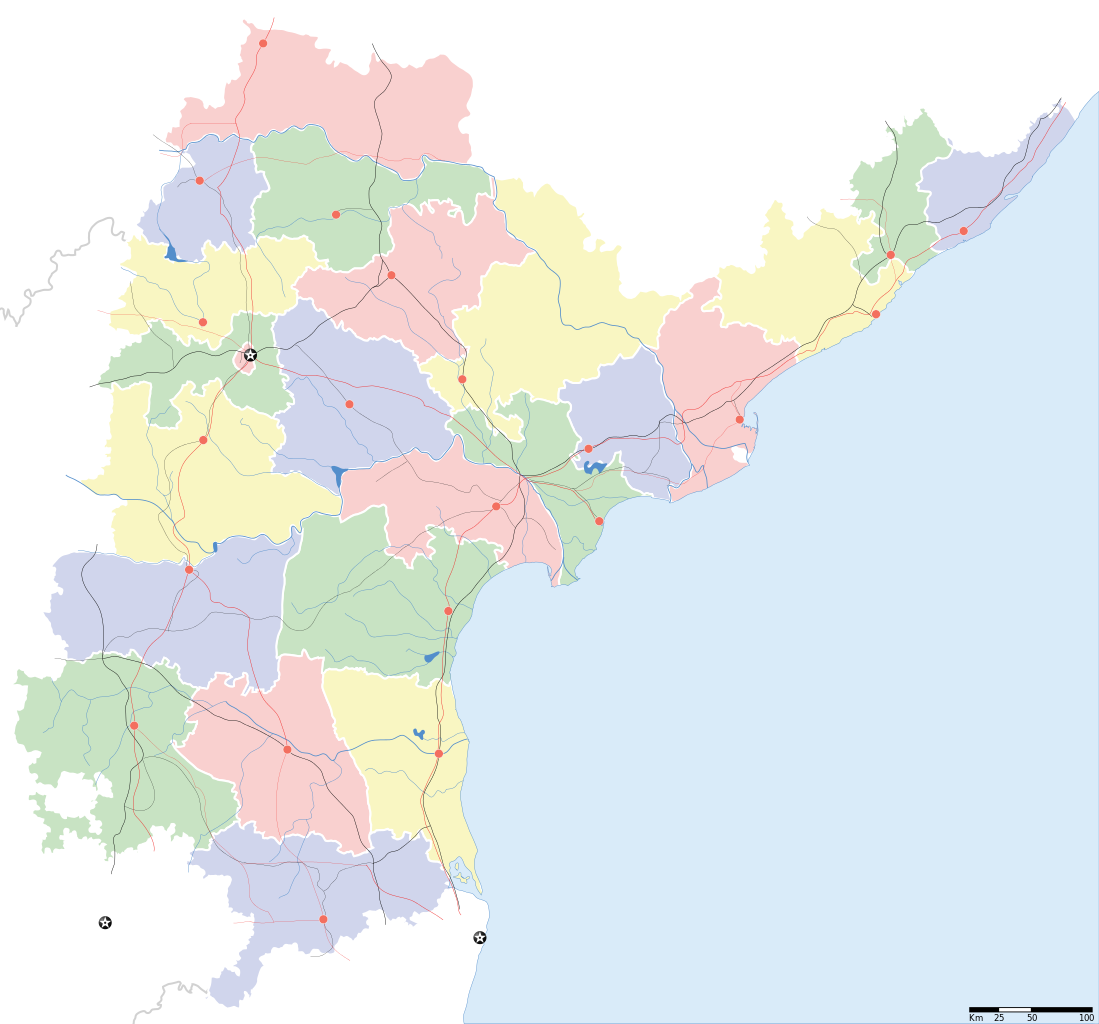
Andhra Pradesh locator Map. Coordinates: top=19.957, bottom=12.522, left=76.593, right=84.935. |
||
| Description |
Map of w:Andhra Pradesh with road and rail lines |
||
| நாள் | |||
| மூலம் |
சொந்த முயற்சி |
||
| படைப்பாளி |
|
||
| அனுமதி (இக்கோப்பை மீண்டும் பயன்படுத்துதல்) |
இந்த ஆக்கத்தின் காப்புரிமையாளரான நான் இதனைப் பின்வரும் உரிமத்தின் கீழ் வெளியிடுகின்றேன்: இந்த கோப்பு Creative Commons Attribution-Share Alike 3.0 Unported உரிமத்தின் கீழ் உள்ளது.
|
||
| Geotemporal data | |||
| Date depicted | second half of 20 century உம் 21 century | ||
| Georeferencing | If inappropriate please set warp_status = skip to hide. | ||
| Archival data | |||
| குறிப்புகள் | Part of WikiProject India Maps | ||
derivative works
Derivative works of this file: India Andhra Pradesh location map.svg
கோப்பின் வரலாறு
குறித்த நேரத்தில் இருந்த படிமத்தைப் பார்க்க அந்நேரத்தின் மீது சொடுக்கவும்.
| நாள்/நேரம் | நகம் அளவு சிறுபடம் | அளவுகள் | பயனர் | கருத்து | |
|---|---|---|---|---|---|
| தற்போதைய | 10:43, 5 மே 2007 | | 2,716 × 2,531 (372 KB) | Planemad | oops, wrong crop |
| 10:40, 5 மே 2007 |  | 2,716 × 2,531 (372 KB) | Planemad | {{WikiProject_India_Maps |Title=Andhra Pradesh locator Map |Description=Map of w:Andhra Pradesh with road and rail lines |Source= [http://www.etctours.net/gifs/apmap.jpg ETC Tours - Andhra map], [http://www.indianrailways.gov.in/maps/st-cent-rly.htm S |
கோப்பு பயன்பாடு
பின்வரும் 2 பக்கங்கள் இணைப்பு இப் படிமத்துக்கு இணைக்கபட்டுள்ளது(ளன):
கோப்பின் முழுமையான பயன்பாடு
கீழ்கண்ட மற்ற விக்கிகள் இந்த கோப்பை பயன்படுத்துகின்றன:
- de.wikipedia.org-திட்டத்தில் இதன் பயன்பாடு
- en.wikipedia.org-திட்டத்தில் இதன் பயன்பாடு
- en.wiktionary.org-திட்டத்தில் இதன் பயன்பாடு
- fa.wikipedia.org-திட்டத்தில் இதன் பயன்பாடு
- hif.wikipedia.org-திட்டத்தில் இதன் பயன்பாடு
- hi.wikipedia.org-திட்டத்தில் இதன் பயன்பாடு
- hr.wikipedia.org-திட்டத்தில் இதன் பயன்பாடு
- ml.wikipedia.org-திட்டத்தில் இதன் பயன்பாடு
- new.wikipedia.org-திட்டத்தில் இதன் பயன்பாடு
- सीतारांपुरमु मण्डल, नेल्लोर जिल्ला
- वरिकुंटपाडु मण्डल, नेल्लोर जिल्ला
- गूडूरु मण्डल, नेल्लोर जिल्ला
- जलदंकि मण्डल, नेल्लोर जिल्ला
- कावलि मण्डल, नेल्लोर जिल्ला
- बोगोलु मण्डल, नेल्लोर जिल्ला
- कलिगिरि मण्डल, नेल्लोर जिल्ला
- विंजमूरु मण्डल, नेल्लोर जिल्ला
- दुत्तलूरु मण्डल, नेल्लोर जिल्ला
- उदयगिरि मण्डल, नेल्लोर जिल्ला
- मर्रिपाडु मण्डल, नेल्लोर जिल्ला
- अनुमसमुद्रंपेट मण्डल, नेल्लोर जिल्ला
- दगदर्ति मण्डल, नेल्लोर जिल्ला
- विडवलूरु मण्डल, नेल्लोर जिल्ला
- कोडवलूरु मण्डल, नेल्लोर जिल्ला
- बुच्चिरेड्डिपालेमु मण्डल, नेल्लोर जिल्ला
- संगं मण्डल, नेल्लोर जिल्ला
- चेजॆर्ल मण्डल, नेल्लोर जिल्ला
- अनंतसागरं मण्डल, नेल्लोर जिल्ला
- कलुवोय मण्डल, नेल्लोर जिल्ला
- रापूरु मण्डल, नेल्लोर जिल्ला
- पॊदलकूरु मण्डल, नेल्लोर जिल्ला
- नेल्लोर मण्डल, नेल्लोर जिल्ला
- कोवूरु मण्डल, नेल्लोर जिल्ला
- इंदुकूरुपेट मण्डल, नेल्लोर जिल्ला
- तोटपल्लिगूडूरु मण्डल, नेल्लोर जिल्ला
- मुत्तुकूरु मण्डल, नेल्लोर जिल्ला
- वेंकटाचलमु मण्डल, नेल्लोर जिल्ला
- मनुबोलु मण्डल, नेल्लोर जिल्ला
- सैदापुरमु मण्डल, नेल्लोर जिल्ला
- डक्किलि मण्डल, नेल्लोर जिल्ला
- वेंकटगिरि मण्डल, नेल्लोर जिल्ला
- बालायपल्ले मण्डल, नेल्लोर जिल्ला
- आल्लूरु मण्डल, नेल्लोर जिल्ला
- ओजिलि मण्डल, नेल्लोर जिल्ला
சிறப்பு பக்கம்-மொத்த பயன்பாடு - இதன் மூலம் இந்த கோப்பின் மொத்த பயன்பாட்டை அறிய முடியும்
.svg)
.svg)