
படிமம்:Census Bureau map of Brick Township, New Jersey.png
இதைவிட அளவில் பெரிய படிமம் இல்லை.
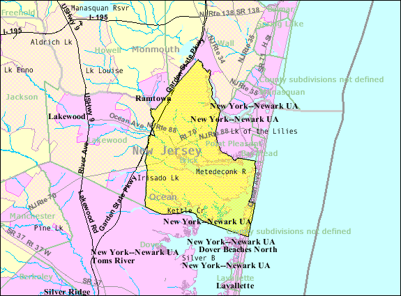
Census_Bureau_map_of_Brick_Township,_New_Jersey.png (575 × 425 படவணுக்கள், கோப்பின் அளவு: 50 KB, MIME வகை: image/png)
| இது விக்கிமீடியா பொதுக்கோப்பகத்தில் இருக்கும் ஒரு கோப்பாகும். இக்கோப்பைக் குறித்து அங்கே காணப்படும் படிம விளக்கப் பக்கத்தை இங்கே கீழே காணலாம்.
|
சுருக்கம்
| விளக்கம் |
English: Census Bureau map of Brick Township, New Jersey |
| நாள் | 22 சூன் 2008 (upload date) |
| மூலம் | United States Census Bureau |
| ஆசிரியர் | United States Census Bureau |
அனுமதி
This image or file is a work of a United States Census Bureau employee, taken or made as part of that person's official duties. As a work of the U.S. federal government, the image is in the public domain.
|
 |
Original upload log
Transferred from en.wikipedia to Commons using FtCG.
The original description page was here. All following user names refer to en.wikipedia.
| Date/Time | Dimensions | User | Comment |
|---|---|---|---|
| 19:32, 22 June 2008 | 575 × 425 (55,539 bytes) | w:en:Alansohn (பேச்சு | பங்களிப்புகள்) | ({{Information |Description=Census Bureau map of [[Brick Township, New Jersey]] |Source=[[United States Census Bureau]] |Date= |Author=[[United States Census Bureau]] |Permission= |other_versions= }}) |
Original upload log
| நாள்/நேரம் | அளவுகள் | பயனர் | கருத்து |
|---|---|---|---|
| 16 சனவரி 2012, 02:39:21 | 575 × 425 (55539 bytes) | Feedintm (பேச்சு · பங்களிப்புகள்) | Transferred from en.wikipedia: see original upload log above |
கோப்பின் வரலாறு
குறித்த நேரத்தில் இருந்த படிமத்தைப் பார்க்க அந்நேரத்தின் மீது சொடுக்கவும்.
| நாள்/நேரம் | நகம் அளவு சிறுபடம் | அளவுகள் | பயனர் | கருத்து | |
|---|---|---|---|---|---|
| தற்போதைய | 04:54, 20 நவம்பர் 2014 | | 575 × 425 (50 KB) | GifTagger | Bot: Converting file to superior PNG file. (Source: Census_Bureau_map_of_Brick_Township,_New_Jersey.gif). This GIF was problematic due to non-greyscale color table. |
கோப்பு பயன்பாடு
பின்வரும் பக்க இணைப்புகள் இப் படிமத்துக்கு இணைக்கபட்டுள்ளது(ளன):
கோப்பின் முழுமையான பயன்பாடு
கீழ்கண்ட மற்ற விக்கிகள் இந்த கோப்பை பயன்படுத்துகின்றன:
- en.wikipedia.org-திட்டத்தில் இதன் பயன்பாடு
- fa.wikipedia.org-திட்டத்தில் இதன் பயன்பாடு
- ja.wikipedia.org-திட்டத்தில் இதன் பயன்பாடு