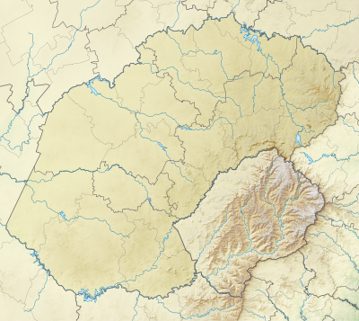
வார்ப்புரு:Location map South Africa Free State
| name | விடுதலை இராச்சியம் (தென்னாப்பிரிக்க மாநிலம்) | |||
|---|---|---|---|---|
| border coordinates | ||||
| -26.5 | ||||
| 24.25 | ←↕→ | 30 | ||
| -31 | ||||
| map center | 28°45′00″S 27°07′30″E / 28.75°S 27.125°E | |||
| image | South Africa Free State location map.svg | |||

| ||||
| image1 | South Africa Free State relief location map.svg | |||

| ||||
