
படிமம்:MaharashtraSangli.png
இந்த முன்னோட்டத்தின் அளவு: 778 × 600 படப்புள்ளிகள் . மற்ற பிரிதிறன்கள்: 312 × 240 படப்புள்ளிகள் | 623 × 480 படப்புள்ளிகள் | 997 × 768 படப்புள்ளிகள் | 1,280 × 987 படப்புள்ளிகள் | 2,168 × 1,671 படப்புள்ளிகள் .
மூலக்கோப்பு (2,168 × 1,671 படவணுக்கள், கோப்பின் அளவு: 426 KB, MIME வகை: image/png)
| இது விக்கிமீடியா பொதுக்கோப்பகத்தில் இருக்கும் ஒரு கோப்பாகும். இக்கோப்பைக் குறித்து அங்கே காணப்படும் படிம விளக்கப் பக்கத்தை இங்கே கீழே காணலாம்.
|
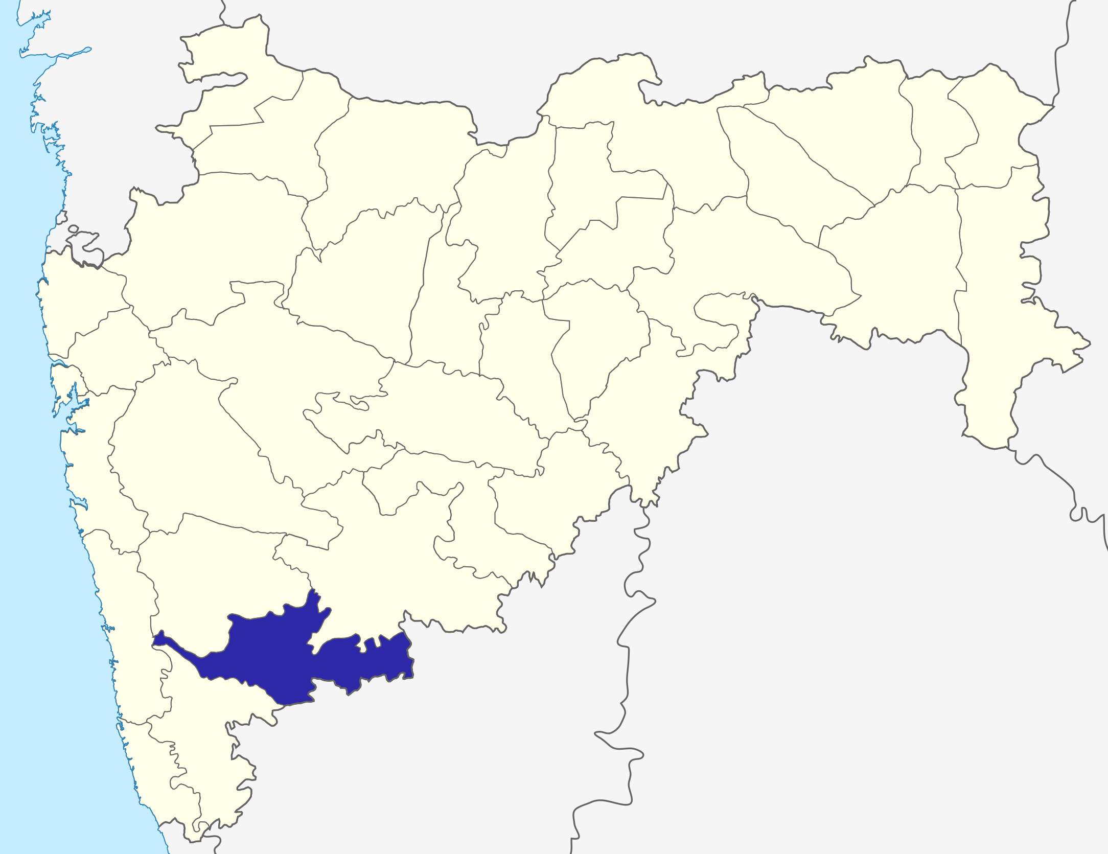
Sangli dist
Source: Drawn by me
| I, the copyright holder of this work, release this work into the public domain. This applies worldwide. சில நாடுகளில் இது சாத்தியமில்லாது போகலாம். அவ்வாறாயின் : I grant anyone the right to use this work for any purpose, without any conditions, unless such conditions are required by law. |
\
கோப்பின் வரலாறு
குறித்த நேரத்தில் இருந்த படிமத்தைப் பார்க்க அந்நேரத்தின் மீது சொடுக்கவும்.
| நாள்/நேரம் | நகம் அளவு சிறுபடம் | அளவுகள் | பயனர் | கருத்து | |
|---|---|---|---|---|---|
| தற்போதைய | 06:31, 6 அக்டோபர் 2015 | | 2,168 × 1,671 (426 KB) | Abhijitsathe | State map updated to reflect new Palghar district |
| 00:09, 22 செப்டெம்பர் 2009 |  | 2,789 × 2,232 (954 KB) | Abhijitsathe | India map inset | |
| 15:41, 10 ஏப்பிரல் 2009 |  | 2,789 × 2,232 (795 KB) | Abhijitsathe | {{Information |Description=Sangli district in Maharashtra |Source=*File:Maharashtra_locator_map.svg |Date=2009-04-10 16:38 (UTC) |Author=*File:Maharashtra_locator_map.svg: '''PlaneMad''' *derivative work: ~~~ |Permission=see below |other_versi | |
| 17:29, 6 ஆகத்து 2005 |  | 200 × 161 (4 KB) | Nichalp | Sangli dist Source: Drawn by me {{PD-self}} Category:Maharashtra district maps\ |
கோப்பு பயன்பாடு
இப் படிமத்துக்கு இணைக்கப்பட்டுள்ள பக்கங்கள் எதுவும் இல்லை.