
படிமம்:Ethiopia adm location map.svg

மூலக்கோப்பு (SVG கோப்பு, பெயரளவில் 1,843 × 1,494 பிக்சல்கள், கோப்பு அளவு: 353 KB)
| இது விக்கிமீடியா பொதுக்கோப்பகத்தில் இருக்கும் ஒரு கோப்பாகும். இக்கோப்பைக் குறித்து அங்கே காணப்படும் படிம விளக்கப் பக்கத்தை இங்கே கீழே காணலாம்.
|
சுருக்கம்
| விளக்கம் |
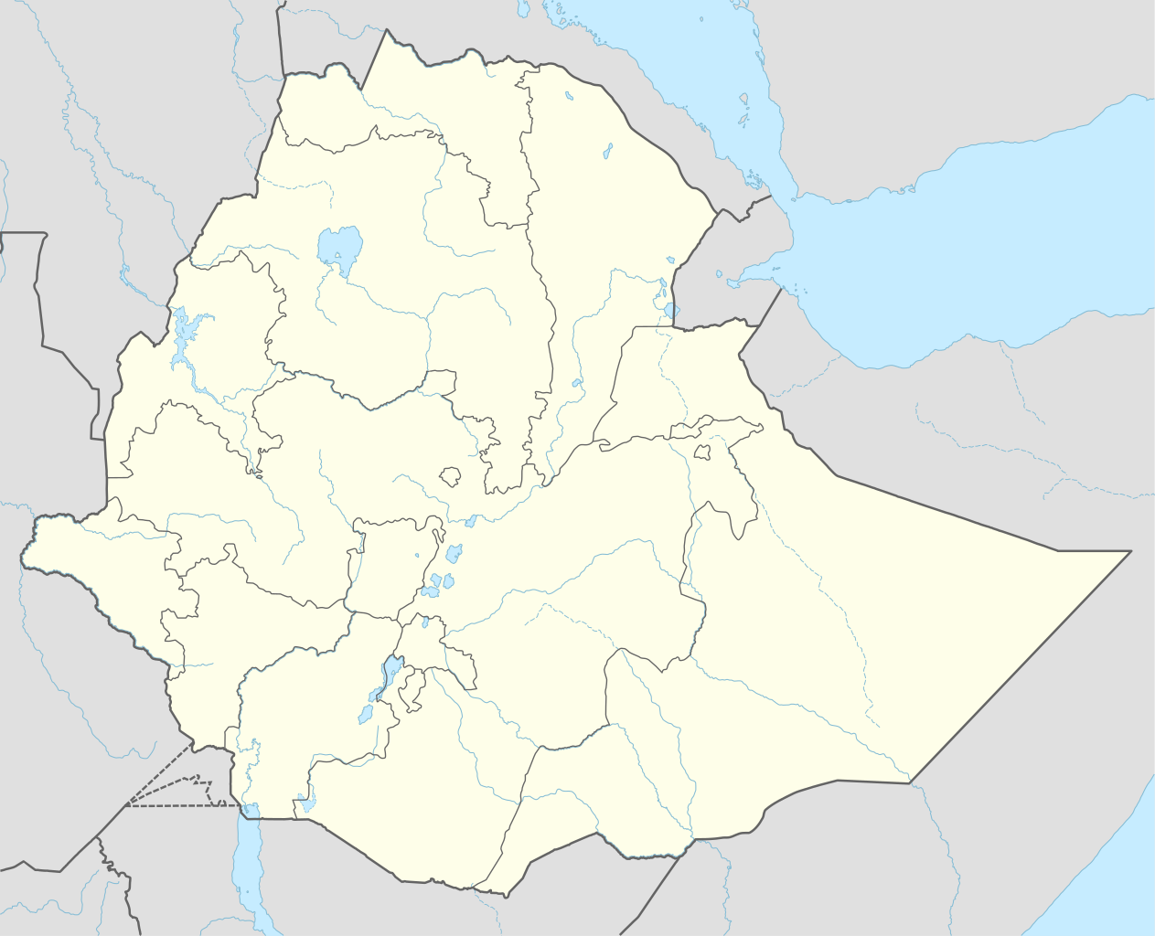
Deutsch: Positionskarte von Äthiopien
English: Location map of Ethiopia
|
||||||||||||
| நாள் | |||||||||||||
| மூலம் |
Own work using:
|
||||||||||||
| ஆசிரியர் | NordNordWest | ||||||||||||
| ஒத்தக்கோப்பு |
|
||||||||||||
_location_map.svg)
_location_map.svg)
_location_map.svg)


|
This map has been made or improved in the German Kartenwerkstatt (Map Lab). You can propose maps to improve as well.
|
அனுமதி
Usage of this file with:

explanatory notes: Legally binding is only the full legalcode. For a free usage I recommend to respect the following licence conditions:
1. Provide my name as given above: NordNordWest,
2. a copy of, or the URI for, the applicable license: https://creativecommons.org/licenses/by-sa/3.0/de/legalcode,
3. the title of the work,
4. in the case of an adaptation, a credit identifying the use of the work in the adaptation.
This license and the rights granted hereunder will terminate automatically upon any breach by you of the terms of this license. Any of the above conditions can be waived if you get permission from the copyright holder. If you have questions or wish differing conditions, please contact me through nnwest or my discussion page ![]() t-online.de
t-online.de
- நீங்கள் சுதந்திரமாக:
- பகிர்ந்து கொள்ள – வேலையை நகலெடுக்க, விநியோகிக்க மற்றும் அனுப்ப
- மீண்டும் கலக்க – வேலைக்கு பழகிக்கொள்ள.
- கீழ்க்காணும் விதிகளுக்கு ஏற்ப,
- பண்புக்கூறுகள் – நீங்கள் பொருத்தமான உரிமையை வழங்க வேண்டும், உரிமத்திற்கான இணைப்பை வழங்க வேண்டும் மற்றும் மாற்றங்கள் செய்யப்பட்டிருந்தால் குறிப்பிட வேண்டும். நீங்கள் ஏற்புடைய எந்த முறையிலும் அவ்வாறு செய்யலாம், ஆனால் எந்த வகையிலும் உரிமதாரர் உங்களை அல்லது உங்கள் பயன்பாட்டிற்கு ஒப்புதல் அளிக்கும் படி பரிந்துரைக்க கூடாது.
- அதே மாதிரி பகிர் – நீங்கள் ரீமிக்ஸ் செய்தாலோ, உருமாற்றம் செய்தாலோ அல்லது பொருளை உருவாக்கினாலோ, உங்கள் பங்களிப்புகளை அல்லது இணக்கமான உரிமம் கீழ் அசலாக விநியோகிக்க வேண்டும்.

கோப்பின் வரலாறு
குறித்த நேரத்தில் இருந்த படிமத்தைப் பார்க்க அந்நேரத்தின் மீது சொடுக்கவும்.
| நாள்/நேரம் | நகம் அளவு சிறுபடம் | அளவுகள் | பயனர் | கருத்து | |
|---|---|---|---|---|---|
| தற்போதைய | 16:11, 11 செப்டெம்பர் 2023 | | 1,843 × 1,494 (353 KB) | NordNordWest | upd 2023 |
| 23:12, 29 திசம்பர் 2021 |  | 1,843 × 1,494 (352 KB) | NordNordWest | corr | |
| 01:59, 1 திசம்பர் 2021 |  | 1,843 × 1,494 (359 KB) | Ue3lman | New South West Region | |
| 14:45, 13 அக்டோபர் 2021 |  | 1,843 × 1,494 (349 KB) | Gebagebo | Added dotted line to indicate Somaliland | |
| 09:09, 5 ஏப்பிரல் 2021 |  | 1,843 × 1,494 (345 KB) | NordNordWest | . | |
| 09:41, 25 நவம்பர் 2020 |  | 1,843 × 1,494 (350 KB) | NordNordWest | + Sidama | |
| 19:00, 27 சூன் 2020 |  | 1,843 × 1,494 (350 KB) | NordNordWest | upd | |
| 18:20, 25 மார்ச்சு 2015 |  | 1,843 × 1,494 (344 KB) | NordNordWest | == {{int:filedesc}} == {{Information |Description= {{de|1=Positionskarte von Äthiopien}} {{en|1=Location map of Ethiopia}} {{Location map series N |stretching=102 |top=15.3 |bottom=2.9 |left=32.7 |right=48.3 }} |Source={{Own using}} * United States Na... |
கோப்பு பயன்பாடு
பின்வரும் 4 பக்கங்கள் இணைப்பு இப் படிமத்துக்கு இணைக்கபட்டுள்ளது(ளன):
கோப்பின் முழுமையான பயன்பாடு
கீழ்கண்ட மற்ற விக்கிகள் இந்த கோப்பை பயன்படுத்துகின்றன:
- af.wikipedia.org-திட்டத்தில் இதன் பயன்பாடு
- am.wikipedia.org-திட்டத்தில் இதன் பயன்பாடு
சிறப்பு பக்கம்-மொத்த பயன்பாடு - இதன் மூலம் இந்த கோப்பின் மொத்த பயன்பாட்டை அறிய முடியும்