
படிமம்:Dovermap1945.jpg
இந்த முன்னோட்டத்தின் அளவு: 747 × 600 படப்புள்ளிகள் . மற்ற பிரிதிறன்கள்: 299 × 240 படப்புள்ளிகள் | 598 × 480 படப்புள்ளிகள் | 879 × 706 படப்புள்ளிகள் .
மூலக்கோப்பு (879 × 706 படவணுக்கள், கோப்பின் அளவு: 502 KB, MIME வகை: image/jpeg)
| இது விக்கிமீடியா பொதுக்கோப்பகத்தில் இருக்கும் ஒரு கோப்பாகும். இக்கோப்பைக் குறித்து அங்கே காணப்படும் படிம விளக்கப் பக்கத்தை இங்கே கீழே காணலாம்.
|
| விளக்கம் |
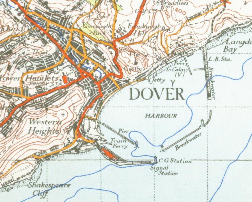
English: from the 1945 OS map of East Kent 1 inch to the mile |
| நாள் | 17 நவம்பர் 2006 (original upload date) |
| மூலம் | Transferred from en.wikipedia to Commons by Oxyman using CommonsHelper. |
| ஆசிரியர் | The original uploader was Geni at ஆங்கிலம் விக்கிப்பீடியா. |
அனுமதி
This work is an Ordnance Survey map over 50 years old, which is covered by Crown Copyright which in this case expires 50 years after publication. Ordnance Survey does however ask that they be credited and that the date of publication be given.
Any ancillary rights gained through the creation of the electronic version are granted as freely usable under any circumstances.
|
This work created by the United Kingdom Government is in the public domain.
This is because it is one of the following:
HMSO has declared that the expiry of Crown Copyrights applies worldwide (ref: HMSO Email Reply)
|
 |
Original upload log
The original description page was here. All following user names refer to en.wikipedia.
- 2006-11-17 21:40 Geni 879×706× (513892 bytes) from the 1945 OS map of east kent 1 inch to the mile {{oldOS}}
கோப்பின் வரலாறு
குறித்த நேரத்தில் இருந்த படிமத்தைப் பார்க்க அந்நேரத்தின் மீது சொடுக்கவும்.
| நாள்/நேரம் | நகம் அளவு சிறுபடம் | அளவுகள் | பயனர் | கருத்து | |
|---|---|---|---|---|---|
| தற்போதைய | 00:12, 15 சூன் 2009 | | 879 × 706 (502 KB) | File Upload Bot (Magnus Manske) | {{BotMoveToCommons|en.wikipedia|year={{subst:CURRENTYEAR}}|month={{subst:CURRENTMONTHNAME}}|day={{subst:CURRENTDAY}}}} {{Information |Description={{en|from the 1945 OS map of East Kent 1 inch to the mile}} |Source=Transferred from [http://en.wikipedia.or |
கோப்பு பயன்பாடு
பின்வரும் பக்க இணைப்புகள் இப் படிமத்துக்கு இணைக்கபட்டுள்ளது(ளன):
கோப்பின் முழுமையான பயன்பாடு
கீழ்கண்ட மற்ற விக்கிகள் இந்த கோப்பை பயன்படுத்துகின்றன:
- azb.wikipedia.org-திட்டத்தில் இதன் பயன்பாடு
- de.wikipedia.org-திட்டத்தில் இதன் பயன்பாடு
- el.wikipedia.org-திட்டத்தில் இதன் பயன்பாடு
- en.wikipedia.org-திட்டத்தில் இதன் பயன்பாடு
- fr.wikipedia.org-திட்டத்தில் இதன் பயன்பாடு
- hr.wikipedia.org-திட்டத்தில் இதன் பயன்பாடு
- sl.wikipedia.org-திட்டத்தில் இதன் பயன்பாடு