
படிமம்:Chhattisgarh locator map.svg

Size of this PNG preview of this SVG file: 607 × 600 படப்புள்ளிகள். மற்ற பிரிதிறன்கள்: 243 × 240 படப்புள்ளிகள் | 486 × 480 படப்புள்ளிகள் | 778 × 768 படப்புள்ளிகள் | 1,037 × 1,024 படப்புள்ளிகள் | 2,074 × 2,048 படப்புள்ளிகள் | 2,269 × 2,241 படப்புள்ளிகள் .
மூலக்கோப்பு (SVG கோப்பு, பெயரளவில் 2,269 × 2,241 பிக்சல்கள், கோப்பு அளவு: 156 KB)
| இது விக்கிமீடியா பொதுக்கோப்பகத்தில் இருக்கும் ஒரு கோப்பாகும். இக்கோப்பைக் குறித்து அங்கே காணப்படும் படிம விளக்கப் பக்கத்தை இங்கே கீழே காணலாம்.
|
| தலைப்பு |
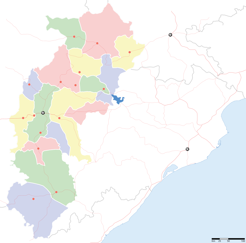
Chhattisgarh locator map |
||
| Description |
Locator map for the Indian state of w:Chhattisgarh. Coordinates: top=24.27, bottom=17.691 |
||
| நாள் | |||
| மூலம் |
சொந்த முயற்சி |
||
| படைப்பாளி |
|
||
| அனுமதி (இக்கோப்பை மீண்டும் பயன்படுத்துதல்) |
இந்த ஆக்கத்தின் காப்புரிமையாளரான நான் இதனைப் பின்வரும் உரிமத்தின் கீழ் வெளியிடுகின்றேன்: இந்த கோப்பு Creative Commons Attribution-Share Alike 3.0 Unported உரிமத்தின் கீழ் உள்ளது.
|
||
| Geotemporal data | |||
| Date depicted | second half of 20 century உம் 21 century | ||
| Georeferencing | If inappropriate please set warp_status = skip to hide. | ||
| Archival data | |||
| குறிப்புகள் | Part of WikiProject India Maps | ||
கோப்பின் வரலாறு
குறித்த நேரத்தில் இருந்த படிமத்தைப் பார்க்க அந்நேரத்தின் மீது சொடுக்கவும்.
| நாள்/நேரம் | நகம் அளவு சிறுபடம் | அளவுகள் | பயனர் | கருத்து | |
|---|---|---|---|---|---|
| தற்போதைய | 17:34, 6 செப்டெம்பர் 2008 | | 2,269 × 2,241 (156 KB) | Planemad | {{Information |Description={{en|1=a}} |Source=Own work by uploader |Author=PlaneMad |Date= |Permission= |other_versions= }} <!--{{ImageUpload|full}}--> |
கோப்பு பயன்பாடு
பின்வரும் 4 பக்கங்கள் இணைப்பு இப் படிமத்துக்கு இணைக்கபட்டுள்ளது(ளன):
கோப்பின் முழுமையான பயன்பாடு
கீழ்கண்ட மற்ற விக்கிகள் இந்த கோப்பை பயன்படுத்துகின்றன:
- awa.wikipedia.org-திட்டத்தில் இதன் பயன்பாடு
- de.wikipedia.org-திட்டத்தில் இதன் பயன்பாடு
- en.wikipedia.org-திட்டத்தில் இதன் பயன்பாடு
- fa.wikipedia.org-திட்டத்தில் இதன் பயன்பாடு
- hi.wikipedia.org-திட்டத்தில் இதன் பயன்பாடு
- धमतरी जिला
- बस्तर जिला
- बिलासपुर जिला, छत्तीसगढ़
- बस्तर
- कोरिया (छत्तीसगढ़)
- सदस्य:Charu
- साँचा:छत्तीसगढ़ के लोकसभा निर्वाचन क्षेत्र
- सरगुजा लोक सभा निर्वाचन क्षेत्र
- बस्तर लोक सभा निर्वाचन क्षेत्र
- बिलासपुर लोक सभा निर्वाचन क्षेत्र
- दुर्ग लोक सभा निर्वाचन क्षेत्र
- जांजगीर-चंपा लोक सभा निर्वाचन क्षेत्र
- कांकेर लोक सभा निर्वाचन क्षेत्र
- कोरबा लोक सभा निर्वाचन क्षेत्र
- महासमुन्द लोक सभा निर्वाचन क्षेत्र
- रायपुर लोक सभा निर्वाचन क्षेत्र
- राजनन्दगांव लोक सभा निर्वाचन क्षेत्र
- टुण्ड्री
- देवपहरी
- साँचा:सदस्य दुर्ग
- रायगढ़ लोक सभा निर्वाचन क्षेत्र
- कटवार (छत्तीसगढ़)
- incubator.wikimedia.org-திட்டத்தில் இதன் பயன்பாடு
- mai.wikipedia.org-திட்டத்தில் இதன் பயன்பாடு
- oc.wikipedia.org-திட்டத்தில் இதன் பயன்பாடு
- or.wikipedia.org-திட்டத்தில் இதன் பயன்பாடு
- pnb.wikipedia.org-திட்டத்தில் இதன் பயன்பாடு
- ru.wikinews.org-திட்டத்தில் இதன் பயன்பாடு
- sw.wikipedia.org-திட்டத்தில் இதன் பயன்பாடு
- zh.wikipedia.org-திட்டத்தில் இதன் பயன்பாடு